Canada’s Arctic is its last frontier. The Far North makes up more than 40 percent of its landmass (roughly 2,436,855 sq. km), but contains less than 1 percent of Canada’s population. Rising sea and air temperatures due to climate change are contributing to sea-ice loss, which has opened up international interest in control over new ‘ice-free’ shipping routes in the Northwest Passage, as well as access to the significant natural resources such as oil, gas and precious metals found there.
Text continues on next page
__
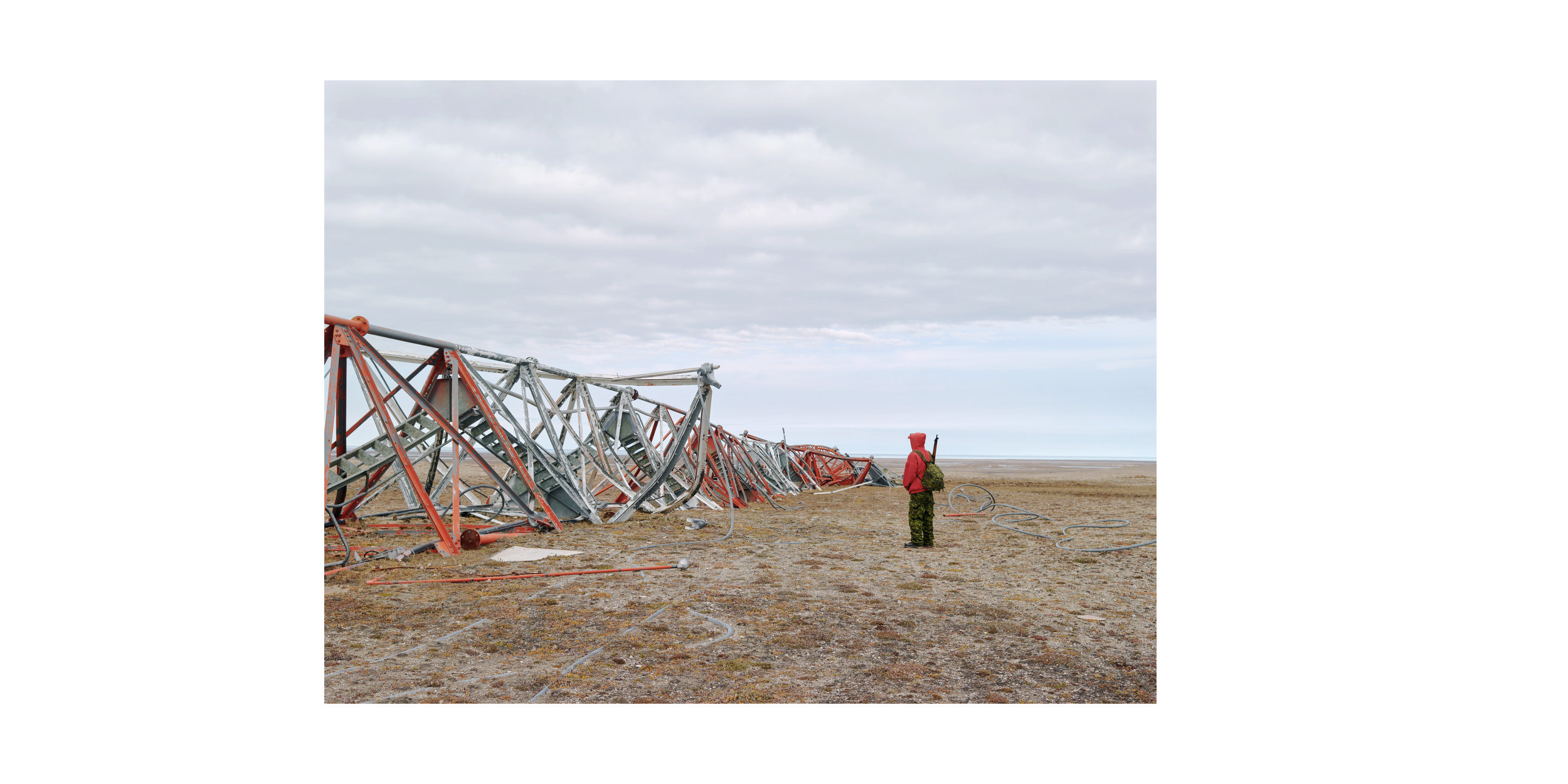
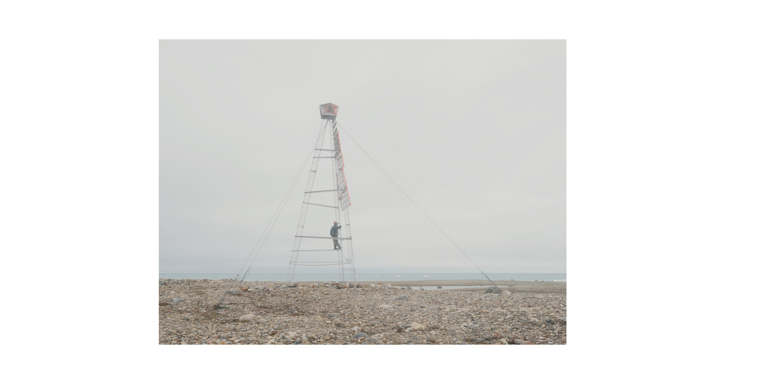
Deactivated DEW Line Site (1), King William Island
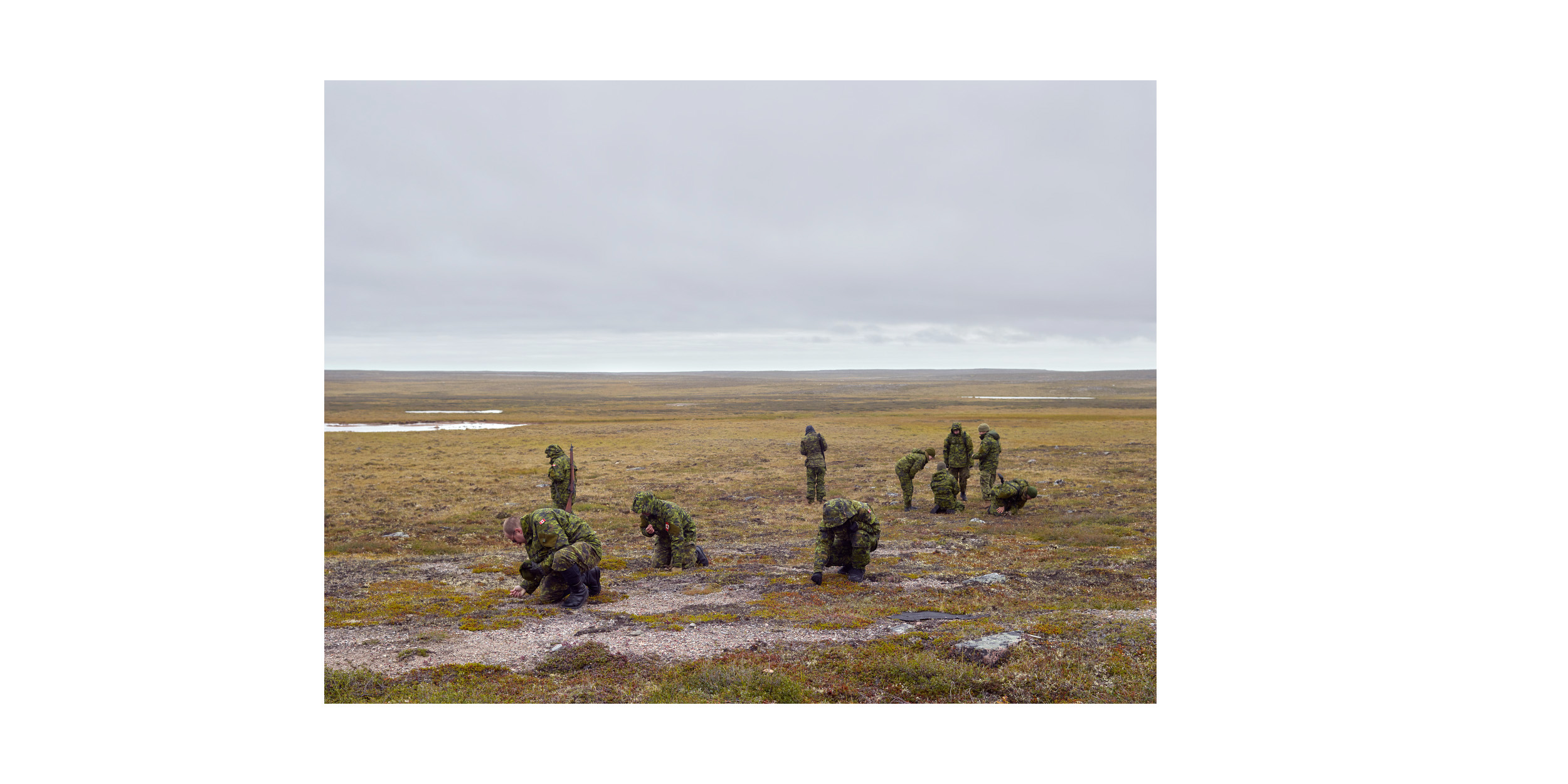
The Canadian Rangers unit is part of Canada’s answer to establishing sovereignty over the North. This part-time military force, tasked with keeping watch over the Arctic, is made up of roughly 5,000 personnel, many of whom are Indigenous, from more than 200 remote communities spread across the region.
The unit conducts surveillance patrols and reports anything unusual to other branches of the military. The Rangers also importantly teach southern personnel survival skills, take part in search-and-rescue operations and other humanitarian aid in remote communities. Within the military community they are deeply respected for their intimate knowledge of the land and living off it.
Text continues on next page
—
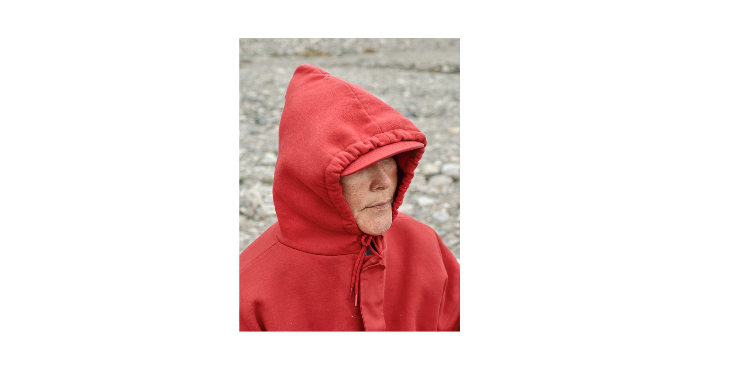
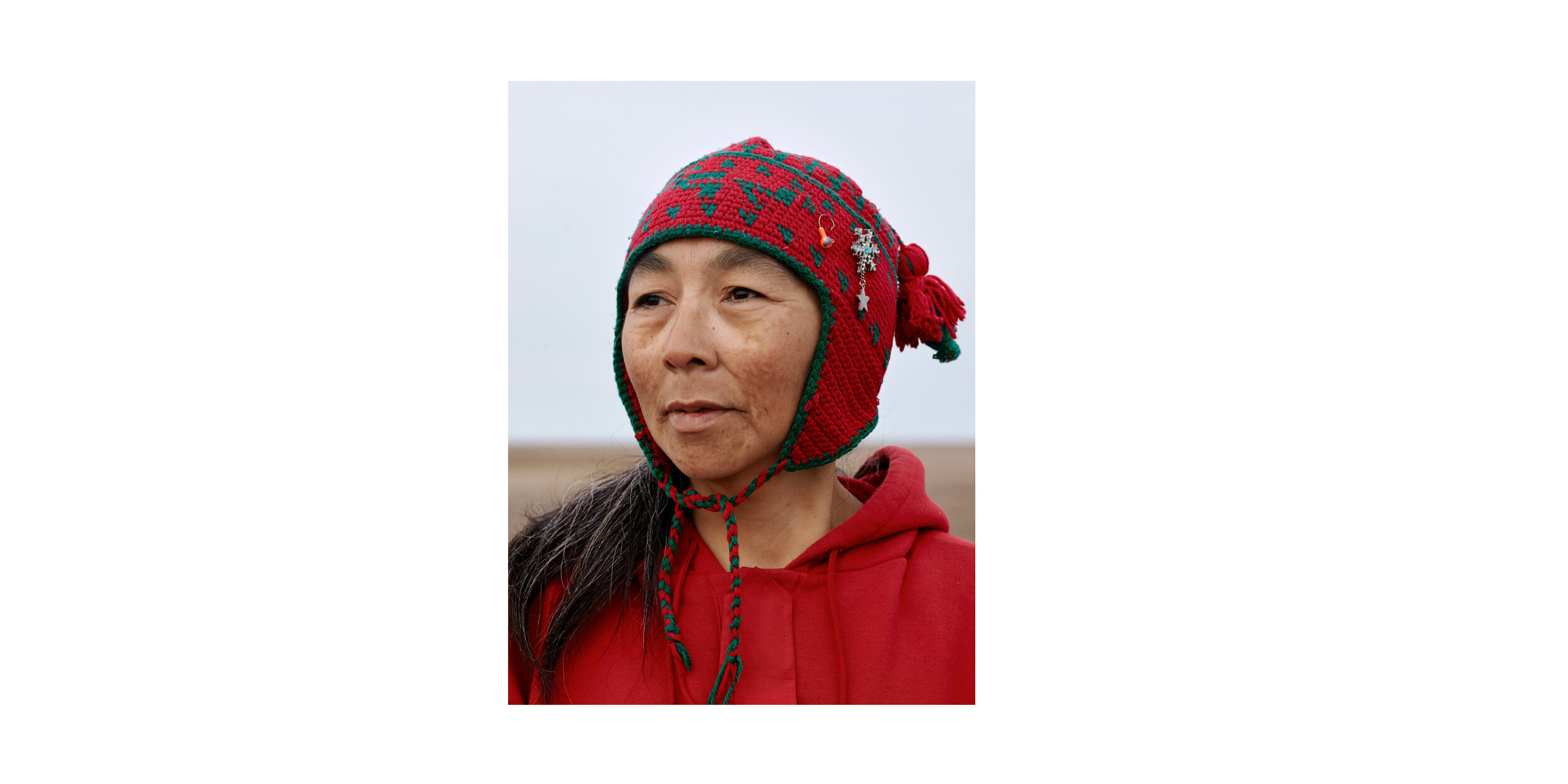
Ranger Ruth Tulurialik, Boothia Peninsula
The Rangers have been a visible military presence in remote northern communities for over 65 years and they continue to serve as the military’s “eyes, ears and voice” of the North. As the Canadian military refines its ability to operate in the region, the Rangers will continue to play an essential role in asserting Canada’s sovereignty over its Arctic land and sea.
—
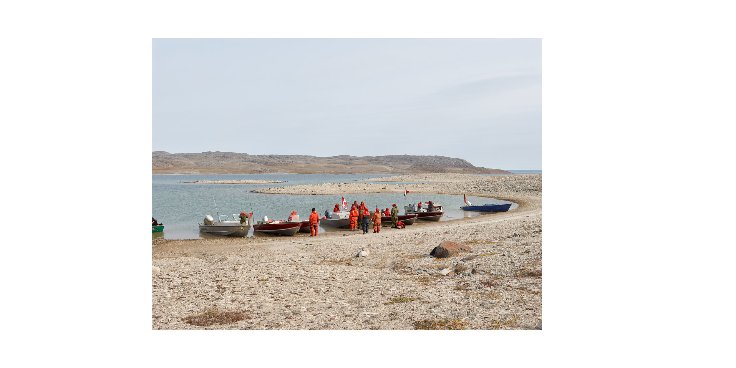
Rae Strait, Nunavut
Taloyoak, Nunavut
Rangers John and Steven Ukuqtunnuaq and Simon Tucktoo, King William Island
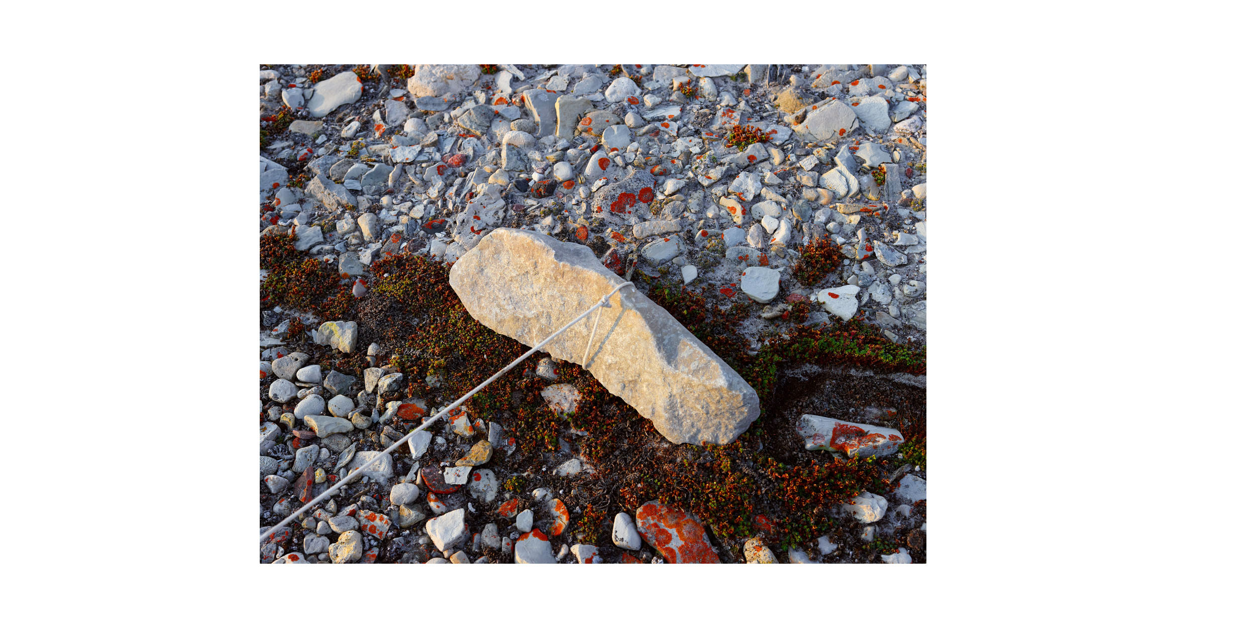
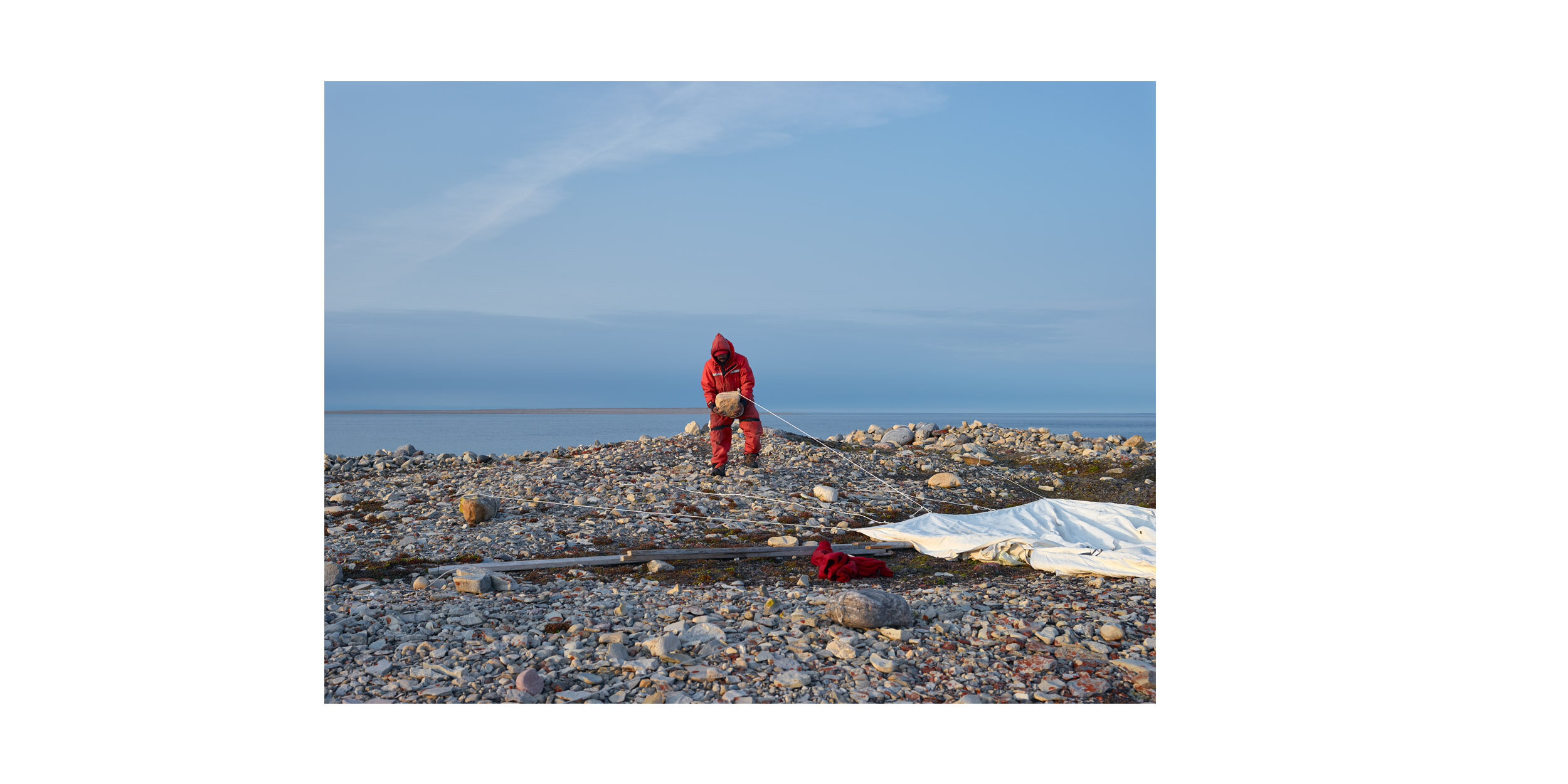
Tent Anchor, Matheson Point
Patrol Break, Imilik Island
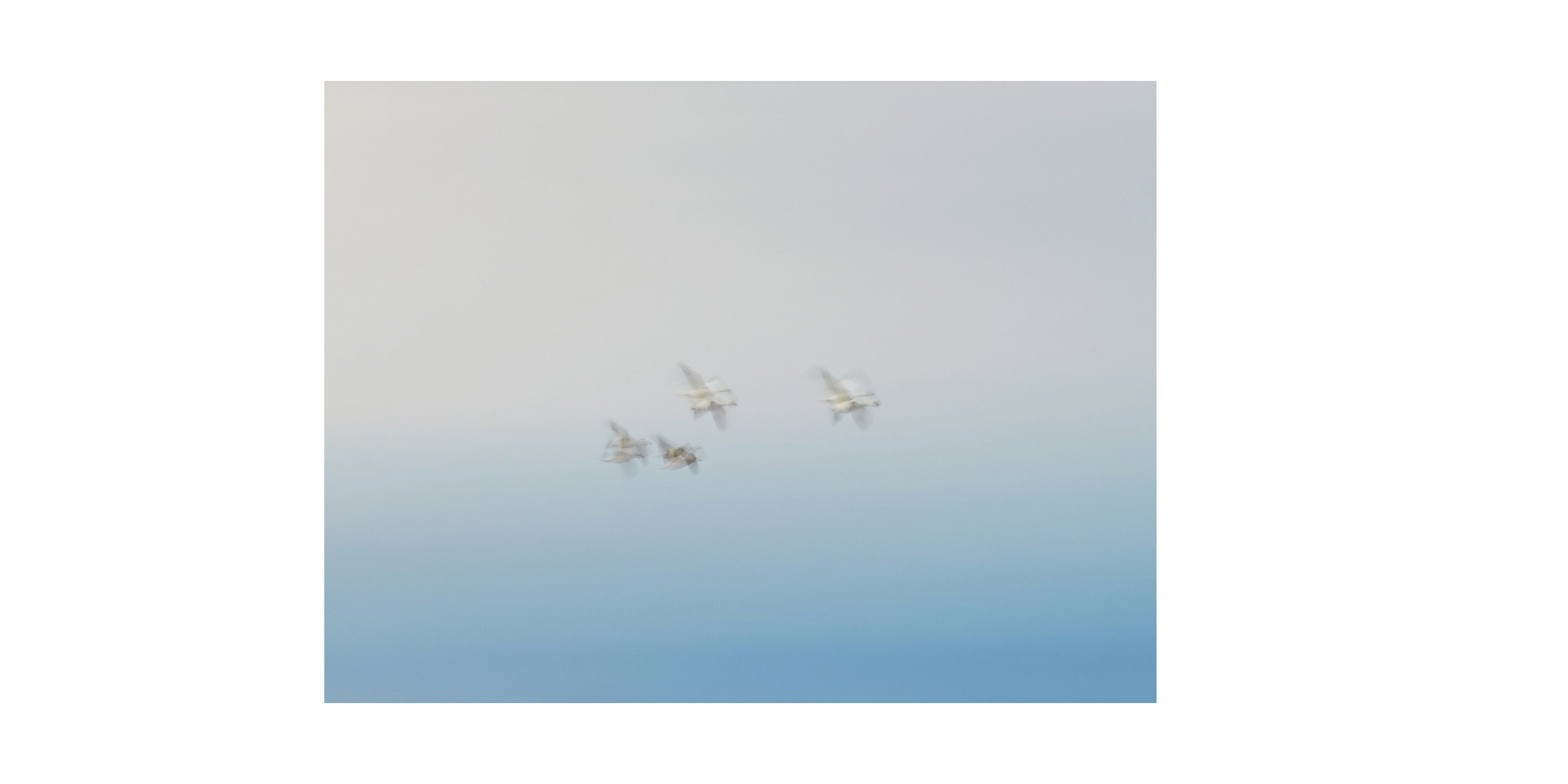
Snow Geese, King William Island
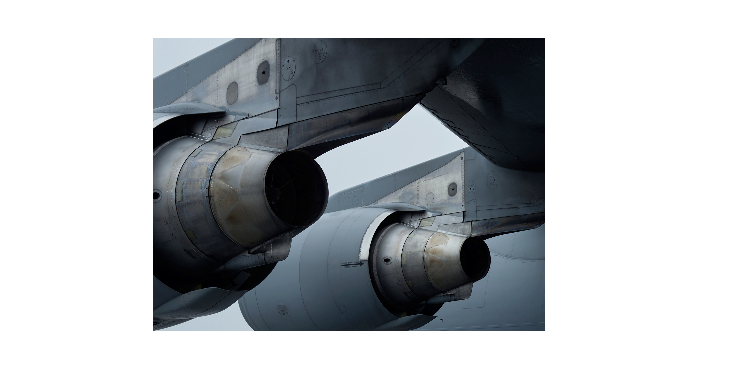
Canadian Armed Forces C-17 Transport Aircraft, Rankin Inlet
Ujarasugjuligaarjuk Point, Boothia Peninsula
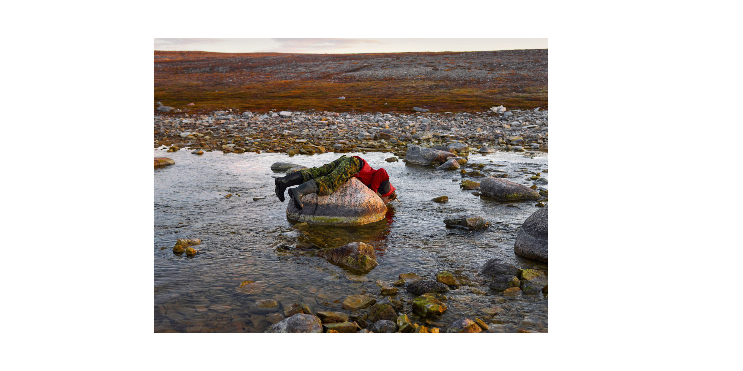
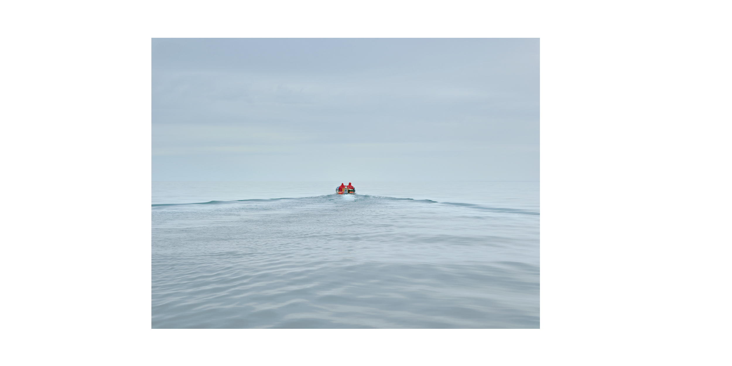
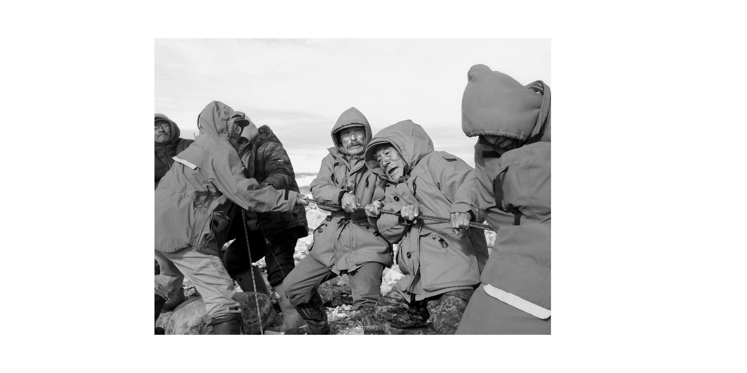
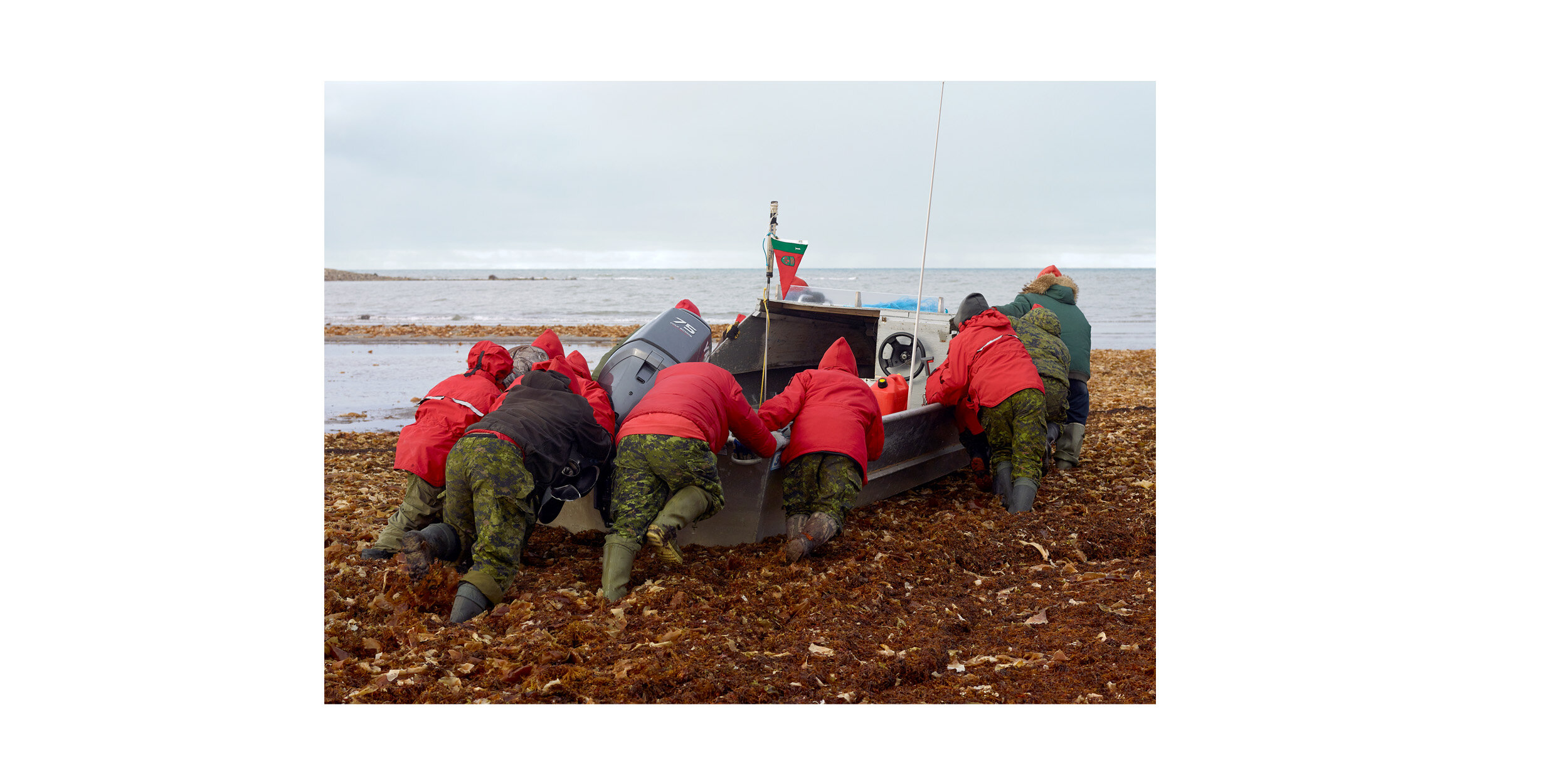
Water Break, Simpson Strait
Arctic Response Company Learn Traditional (Survival) Skills, Rankin Inlet
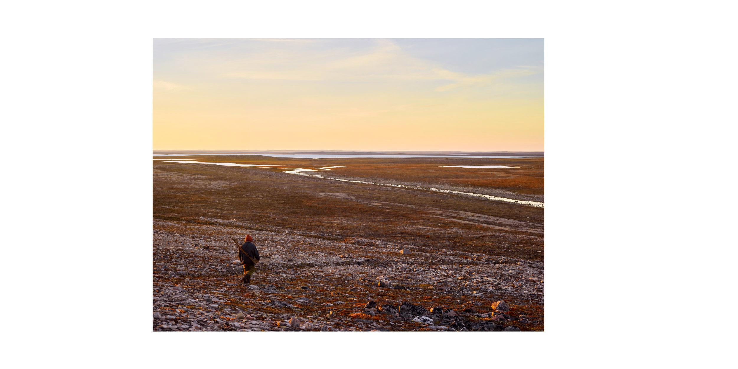
Tundra, Taloyoak
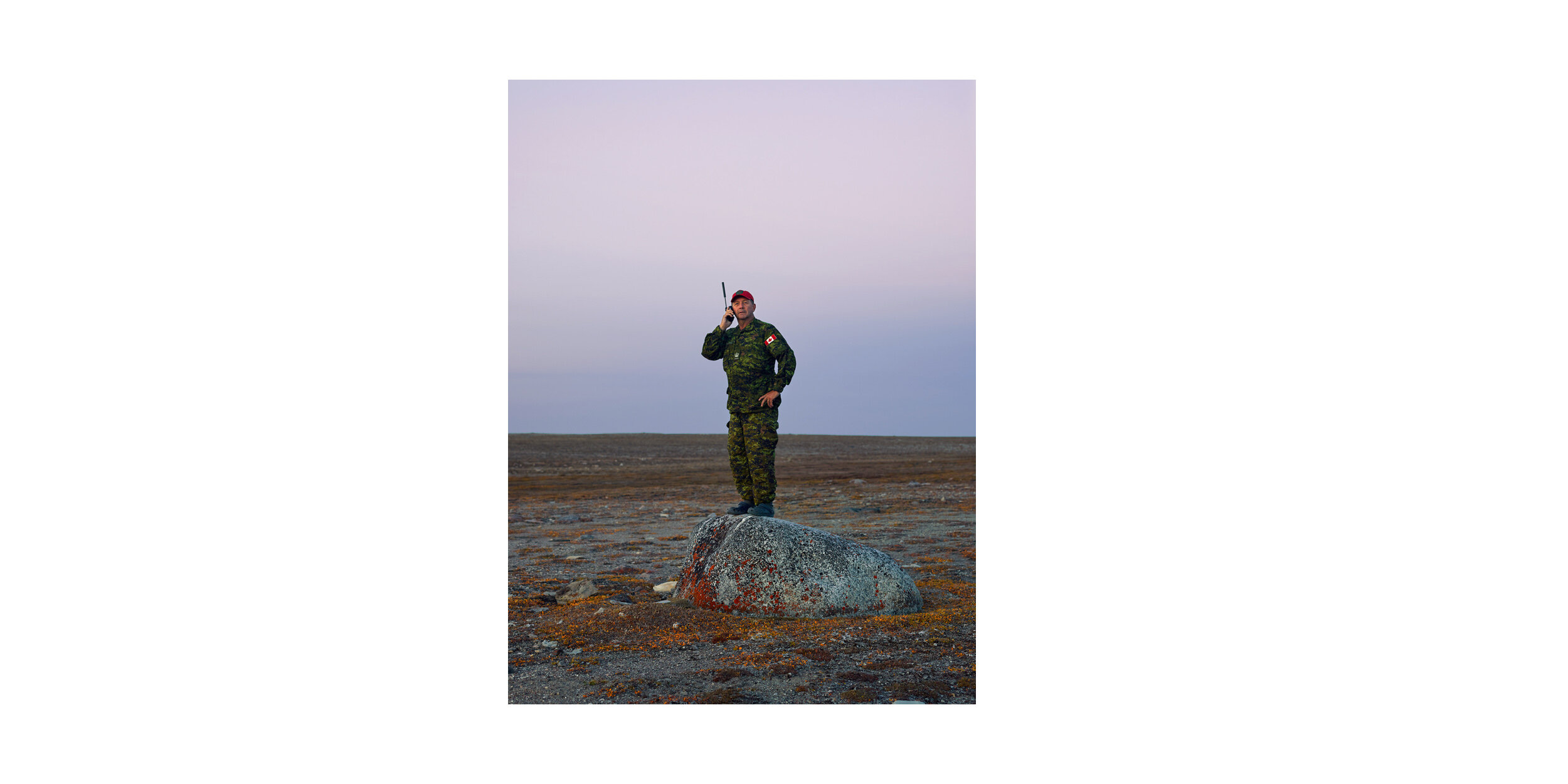
Ranger instructor Warrant Officer Woody Keeping uses a satellite phone to maintain contact with headquarters in Yellowknife.
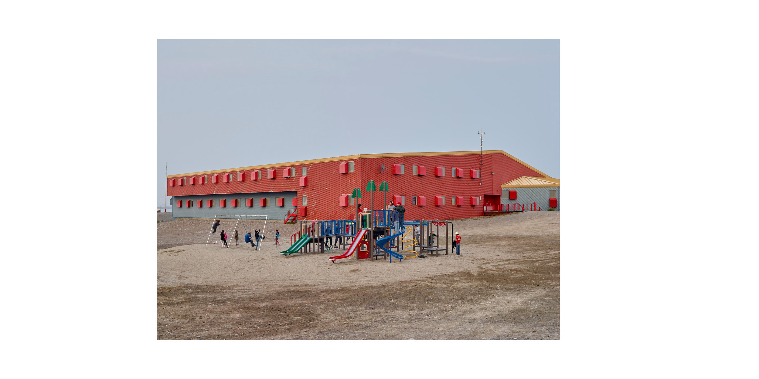
Maani Ulujuk School, Rankin Inlet
Matheson Point (1), King William Island

Caribou Heads, Taloyoak
Observation Post, King William Island

Polar Route, King William Island
Ranger Louisa Alookee
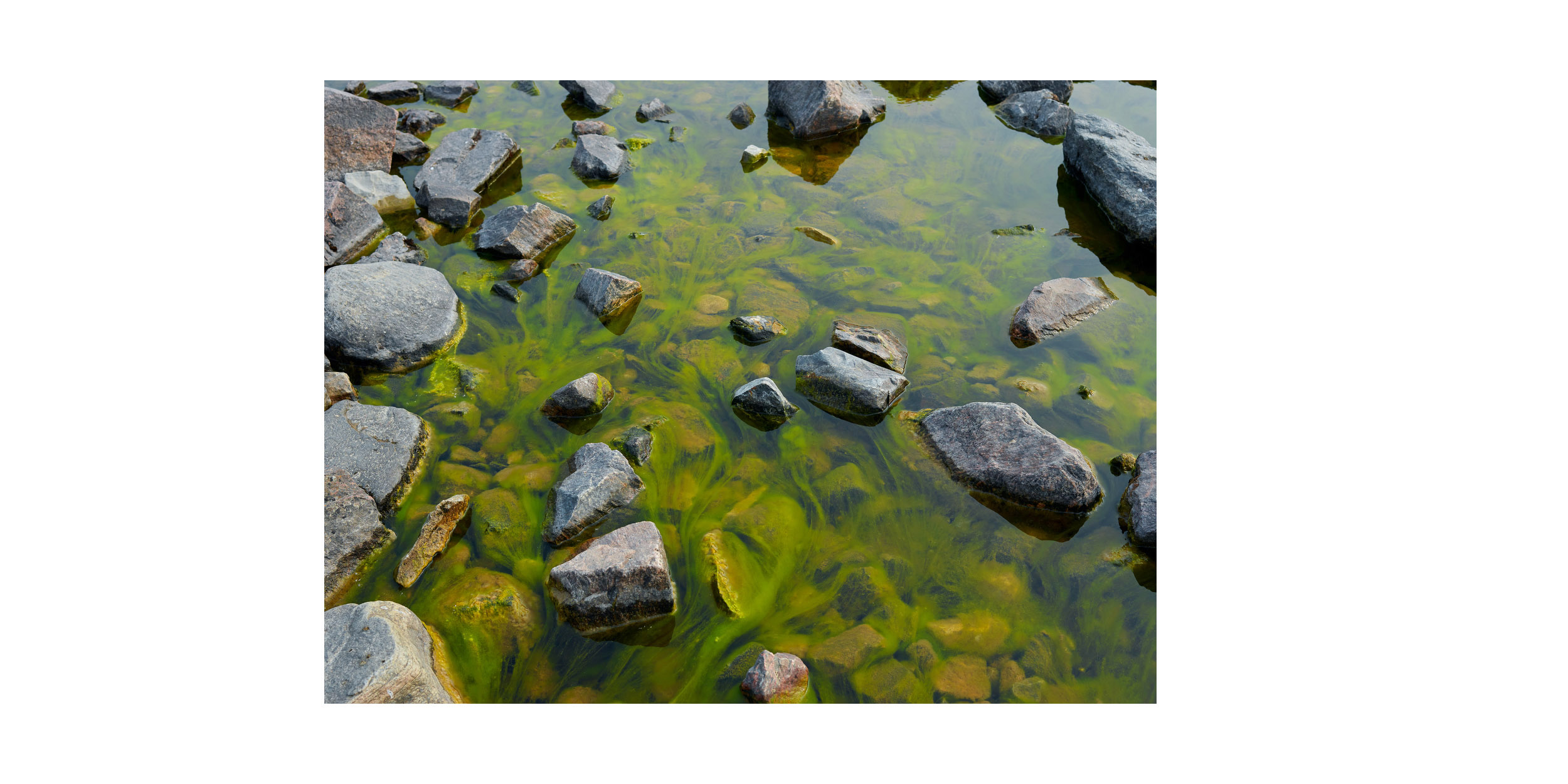
Freshwater Stream, Taloyoak
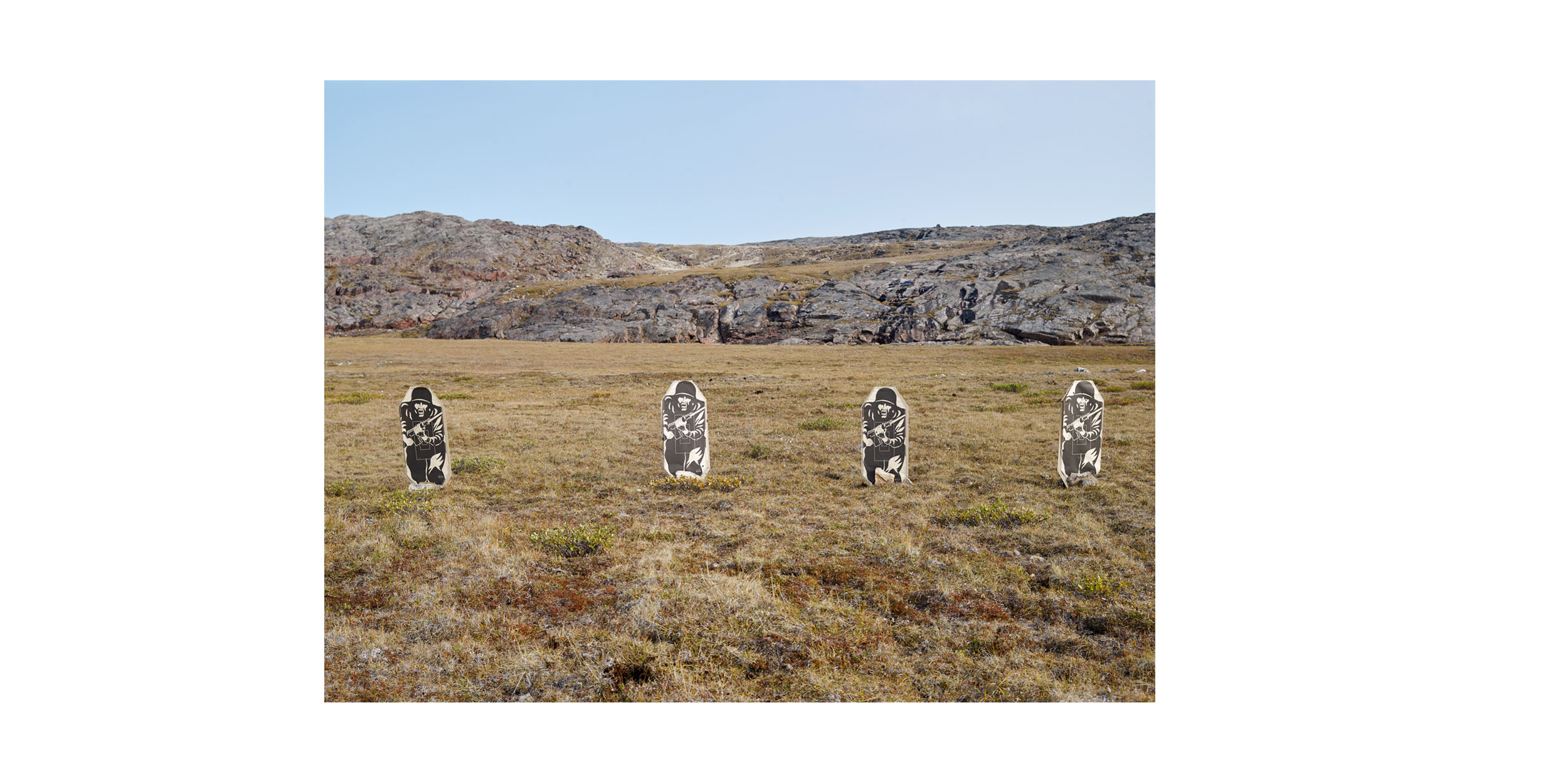
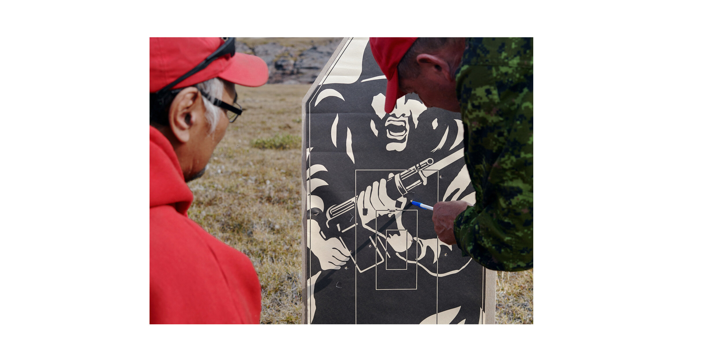
Fig.11 Targets, Taloyoak
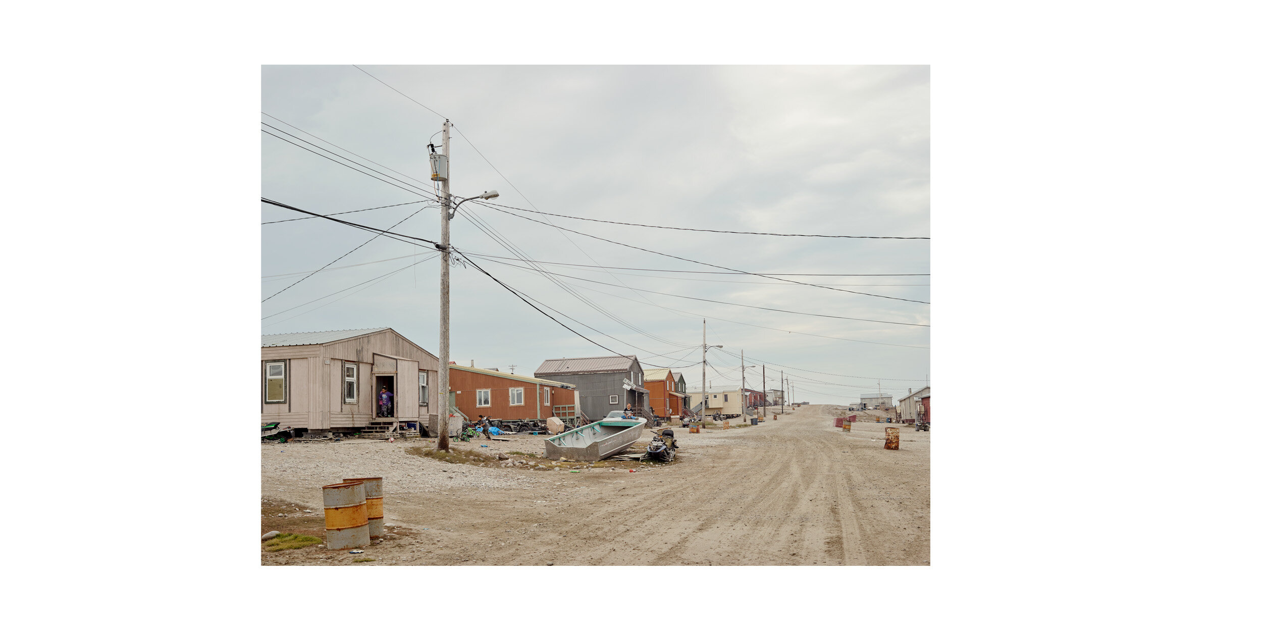
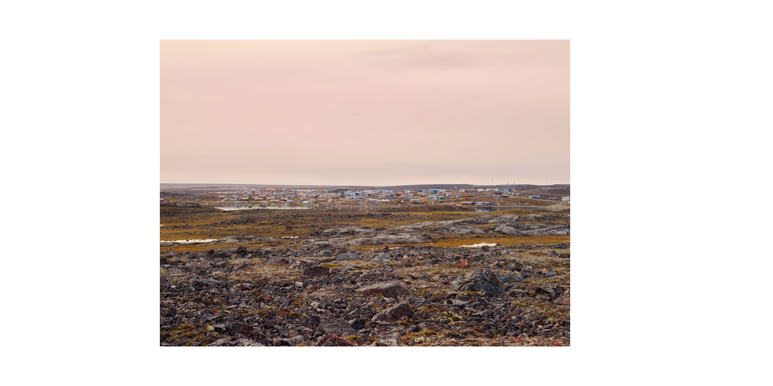
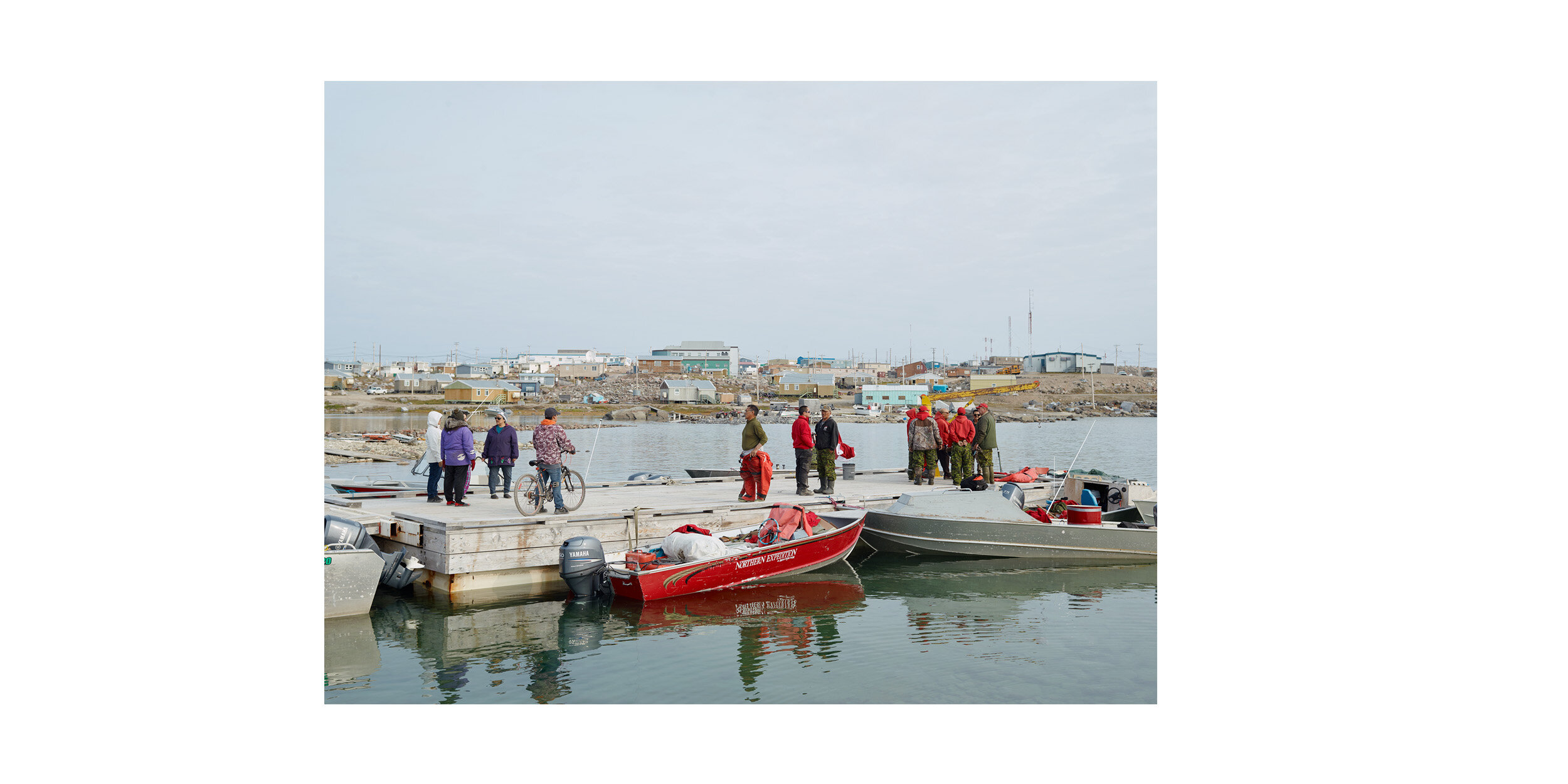
Gjoa Haven, King William Island
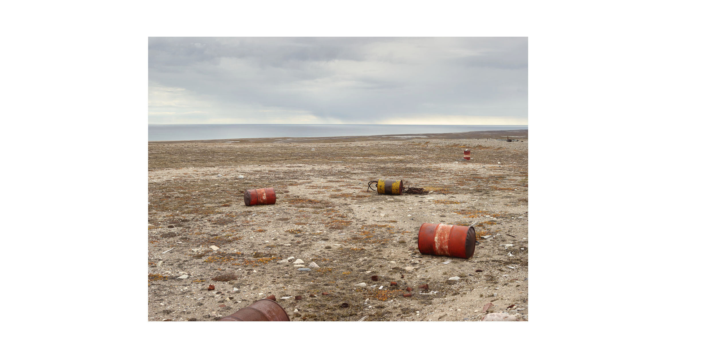
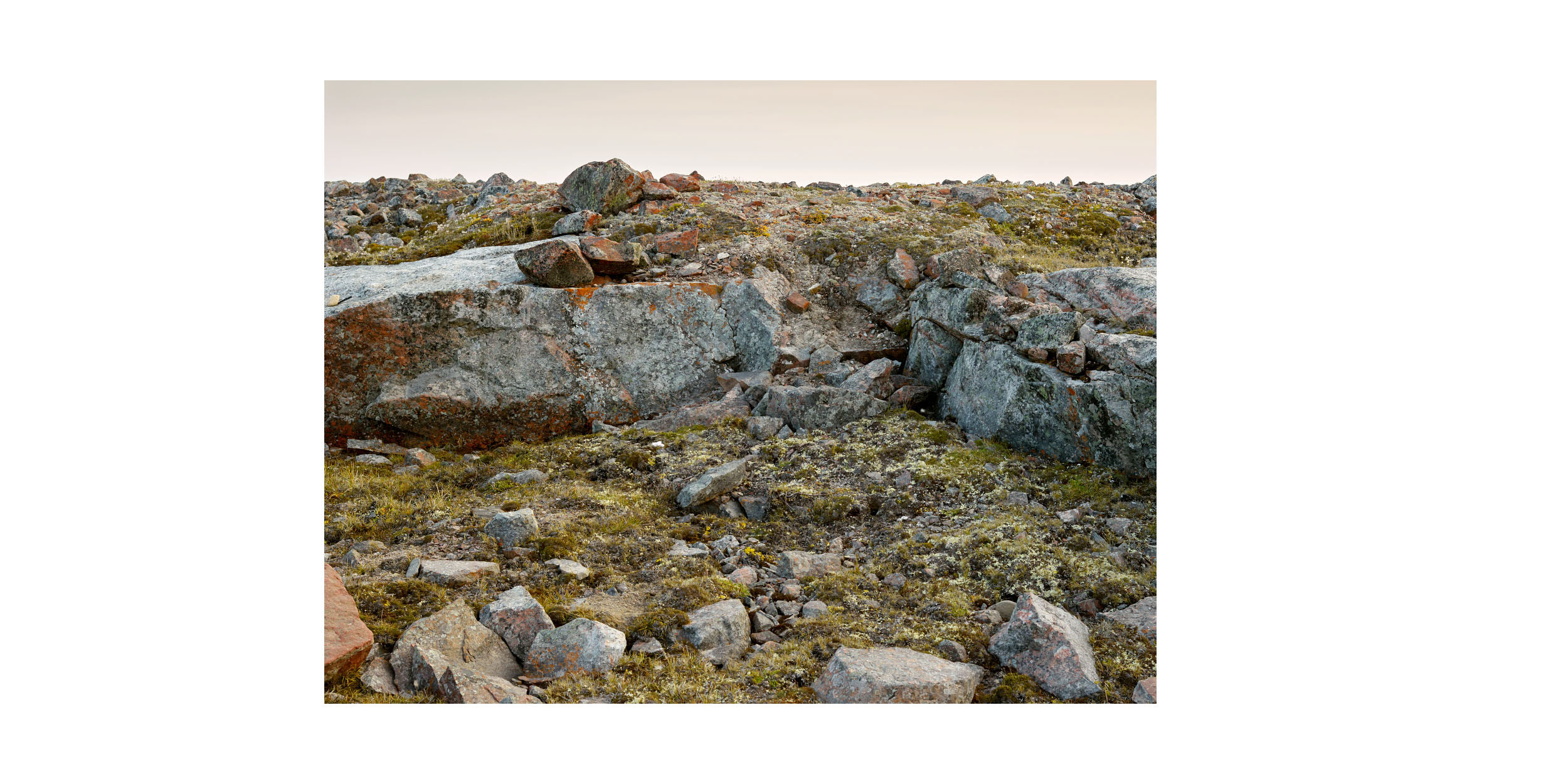
Deactivated DEW Line Site (2), King William Island
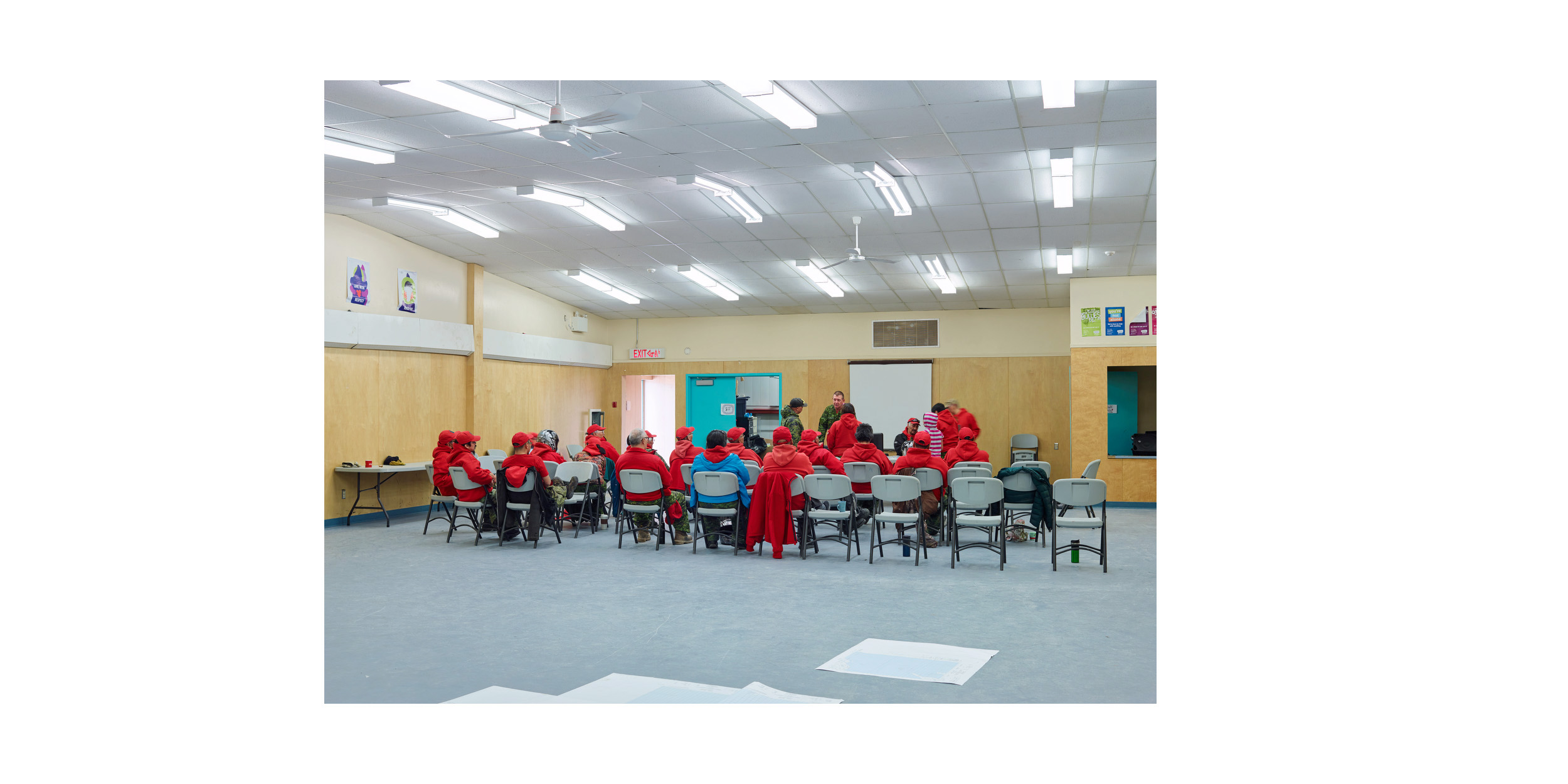
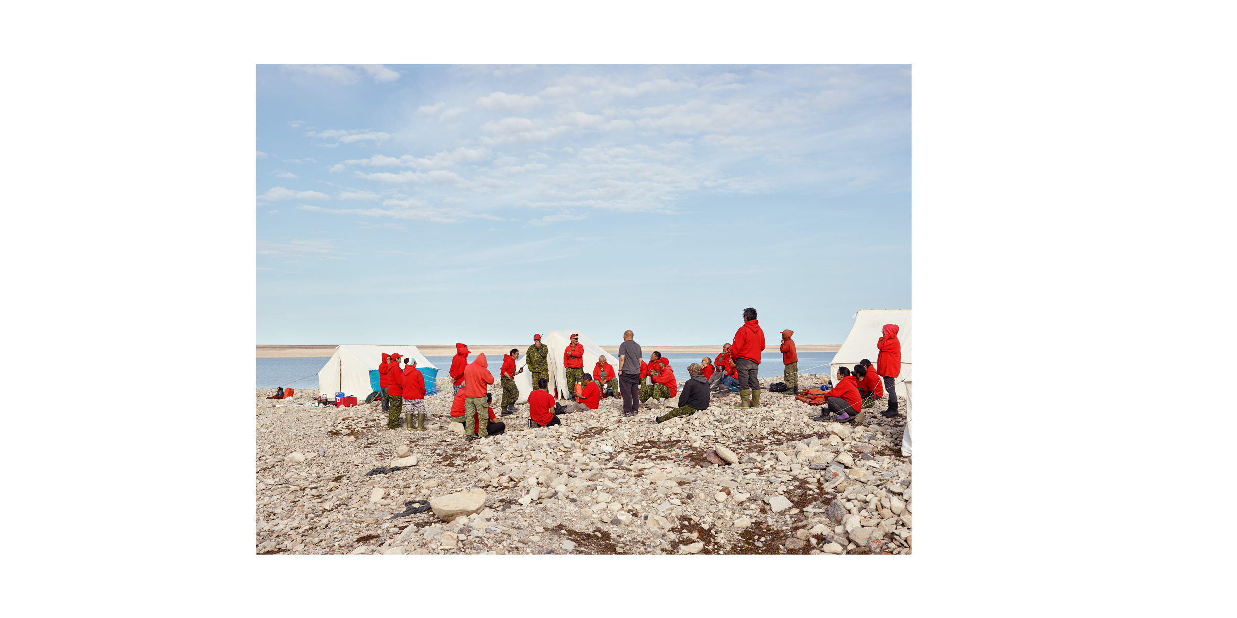
Ranger Patrol Briefing, Taloyoak

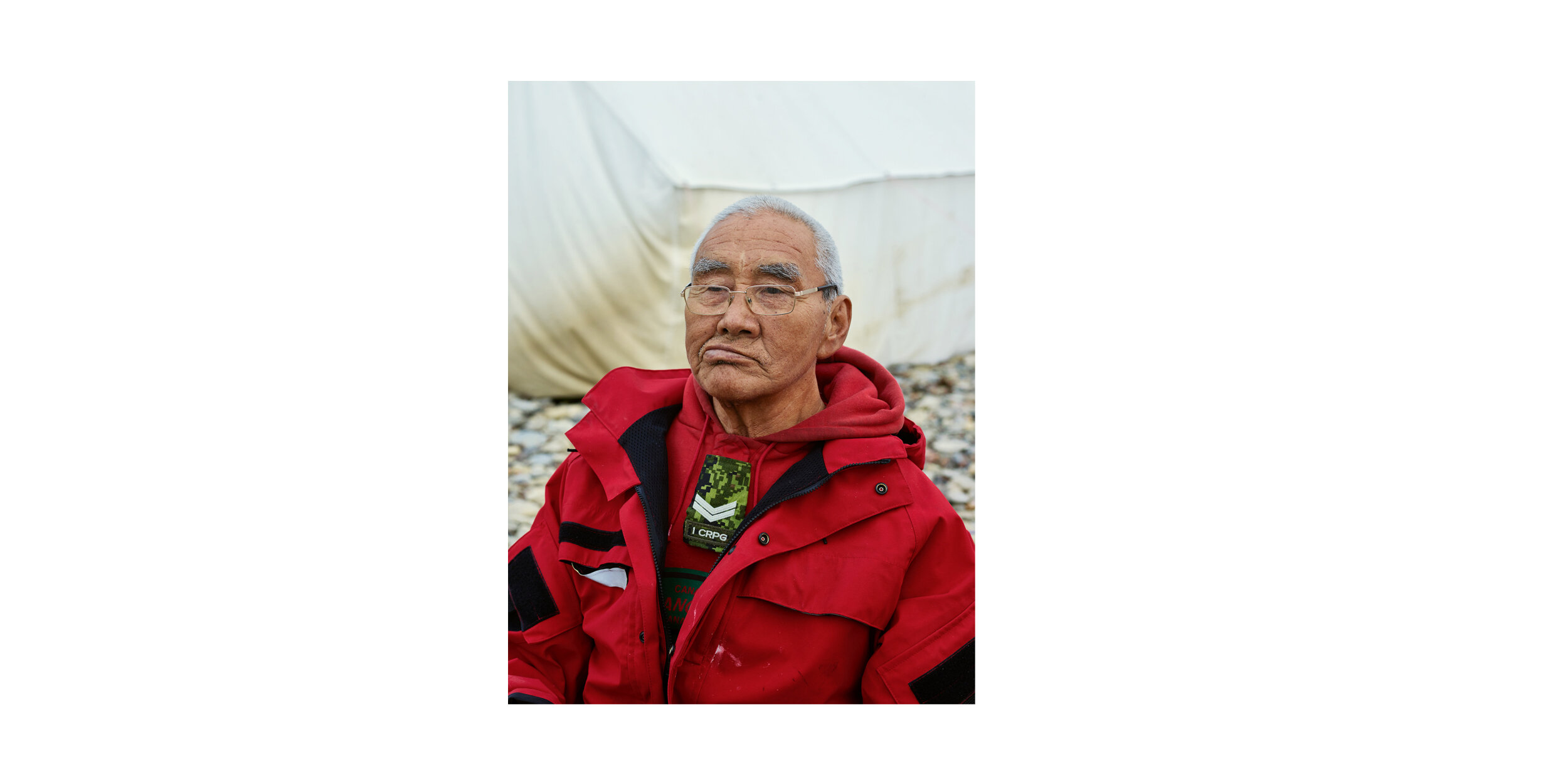
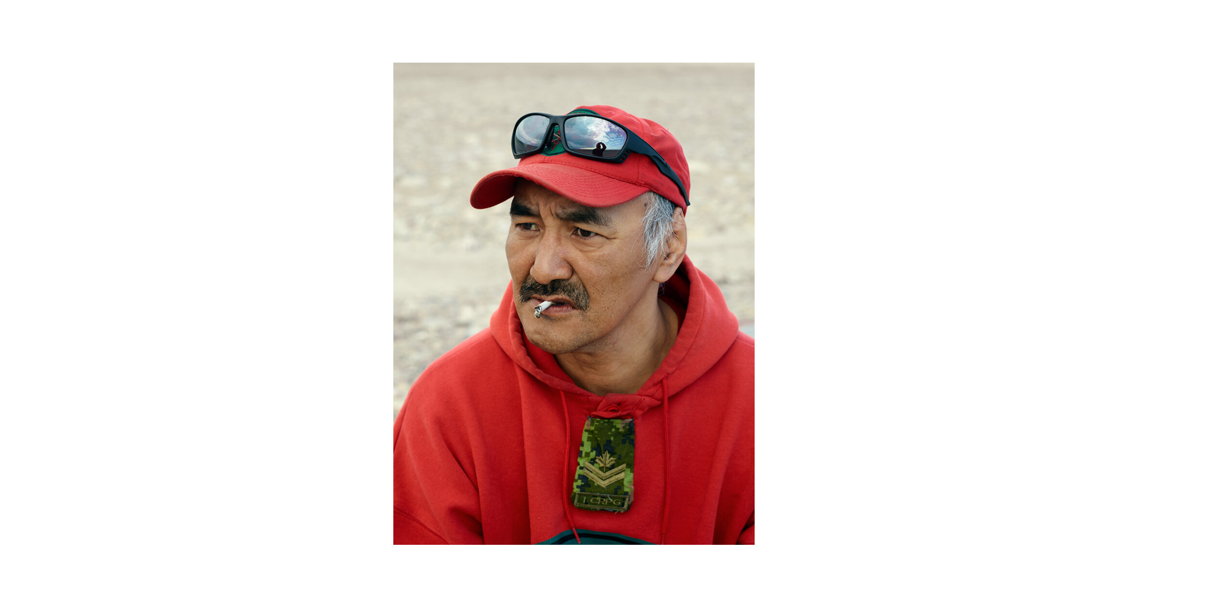
Ranger James Aiyout

Caribou Harvest on the Mainland, Boothia Peninsula
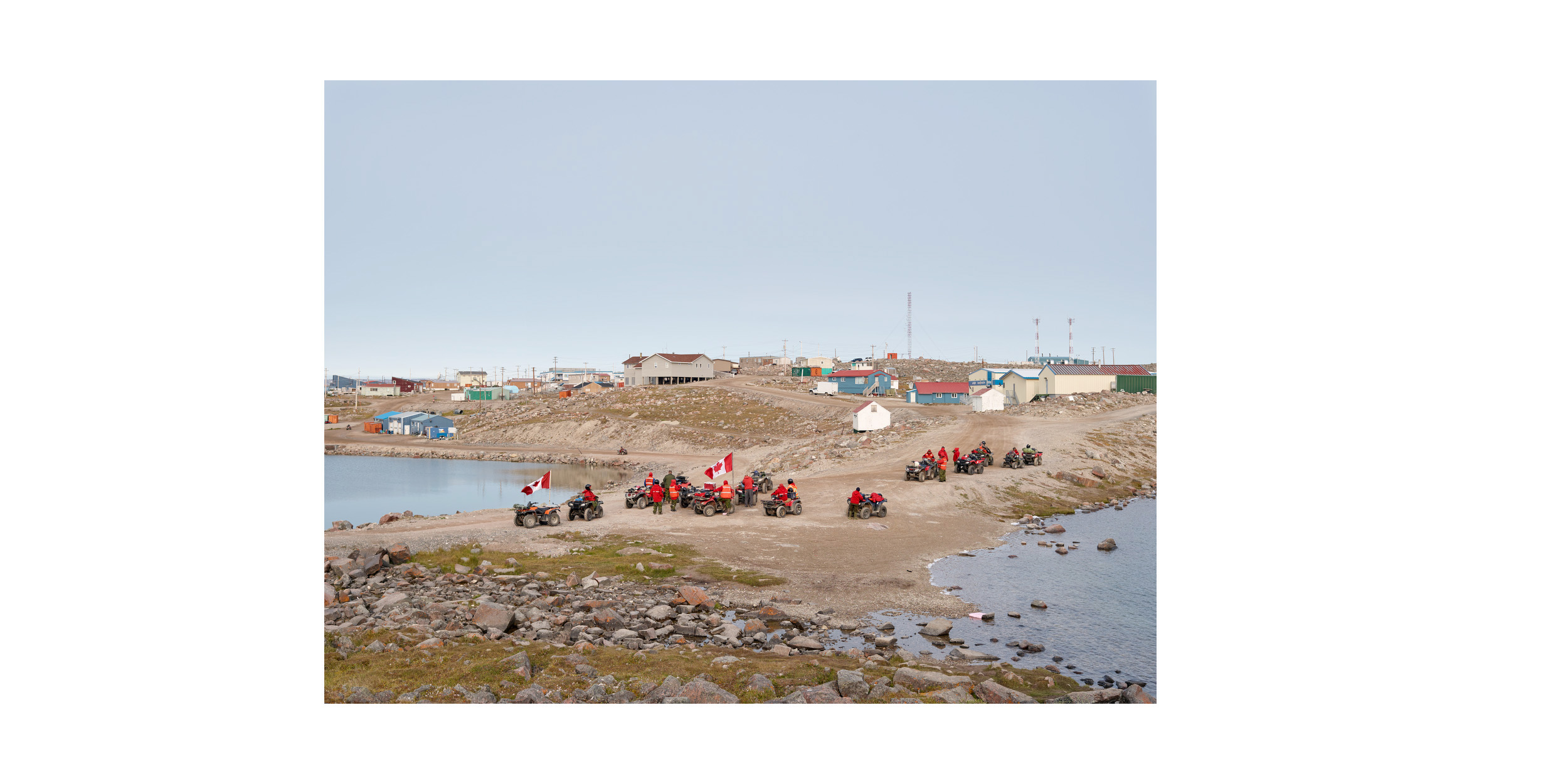
Ranger ATV Patrol, Taloyoak

Matheson Point (2), King William Island

Personal Weapons Test, Taloyoak
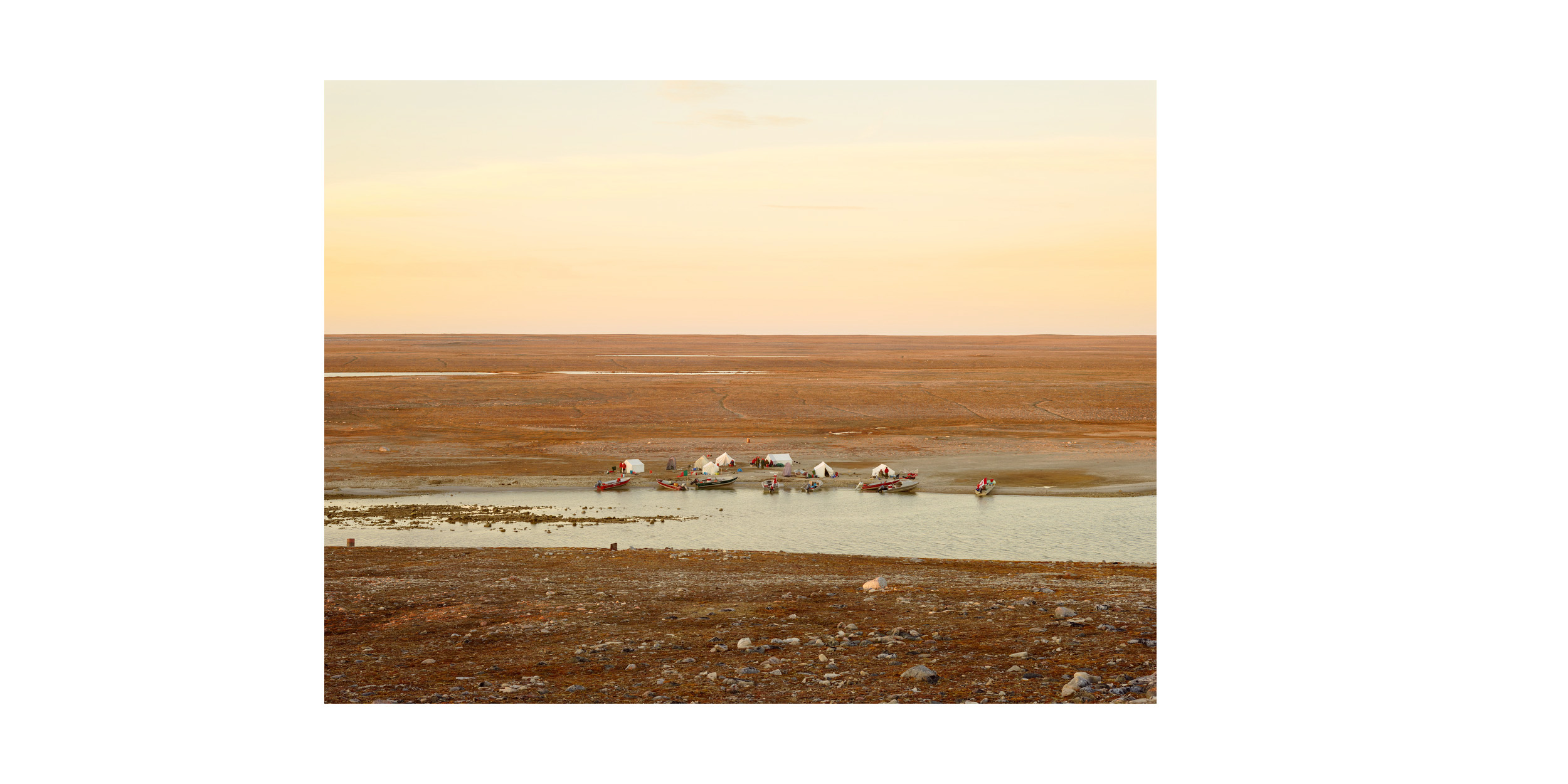
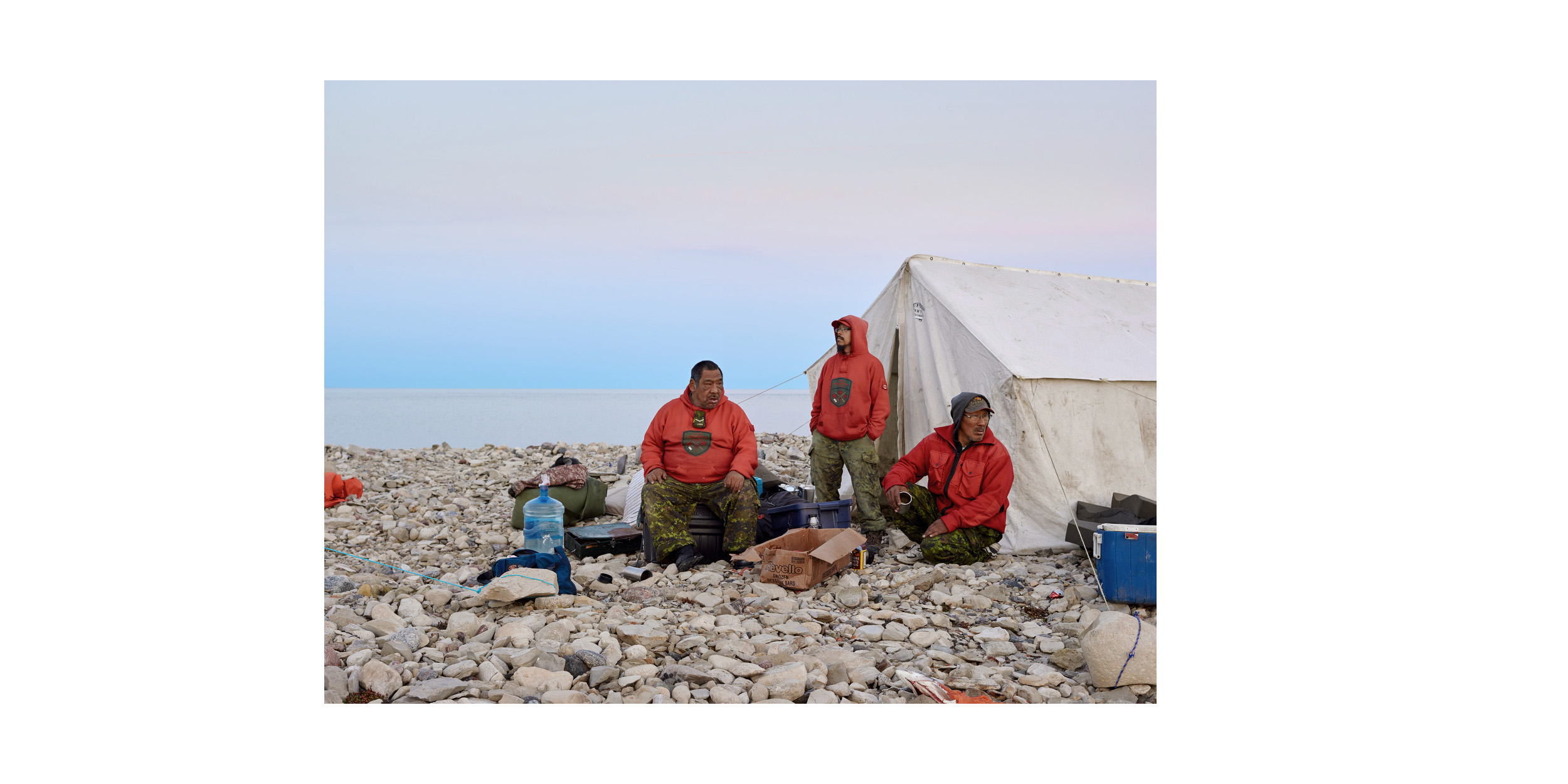
Patrol Camp, King William Island
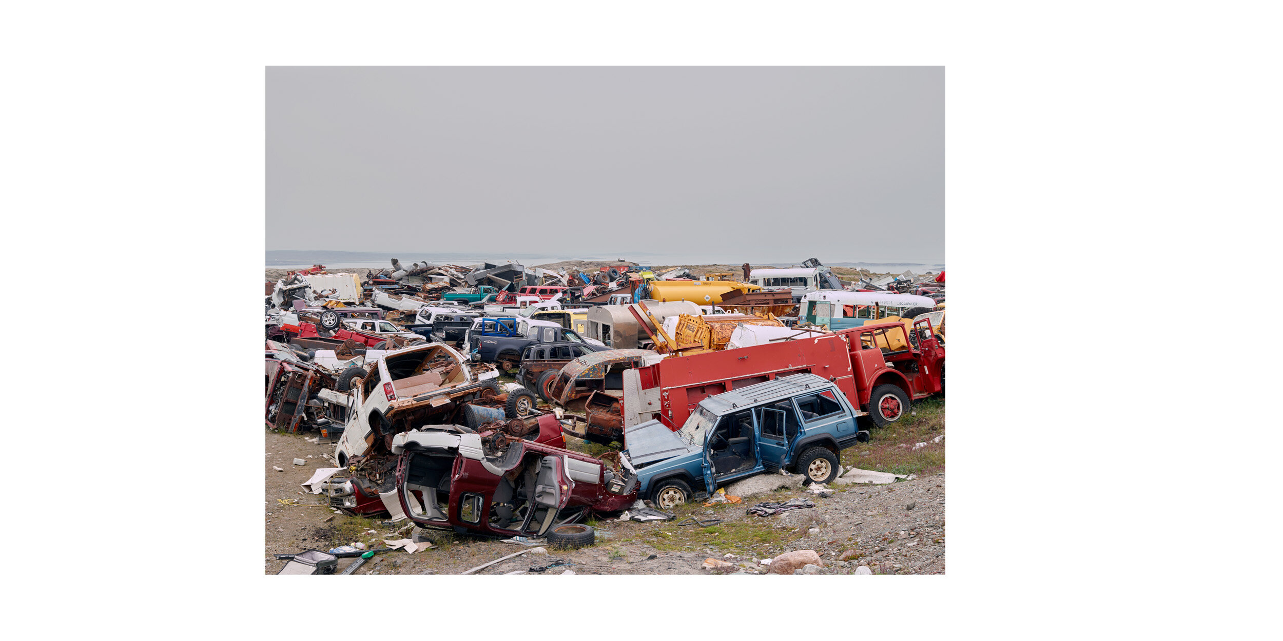
Junkyard, Rankin Inlet
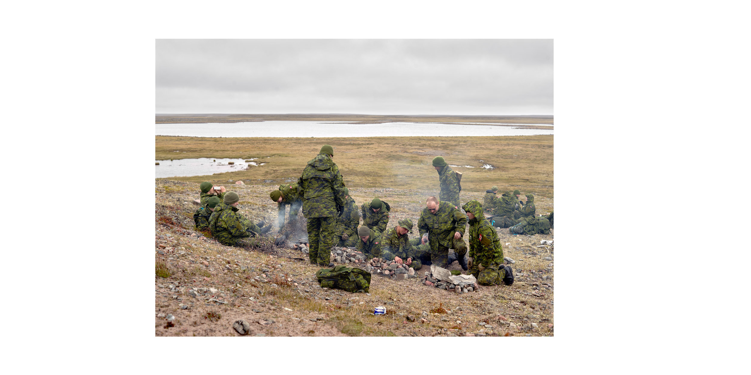
Arctic Response Company Learn Traditional (Survival) Skills (II), Rankin Inlet
Master Corporal Tommy Aiyout
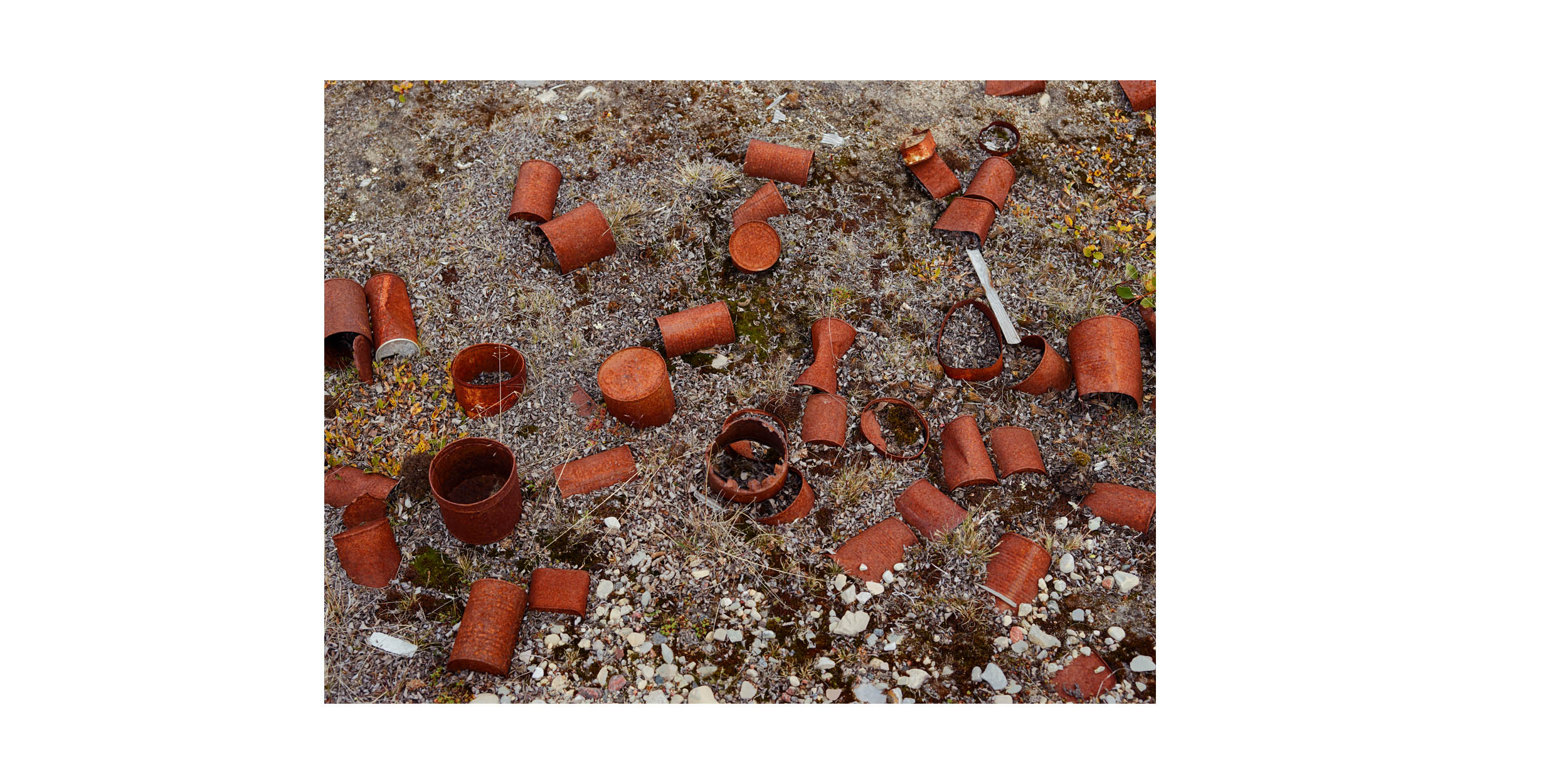
Ration Cans, Deactivated DEW Line Site, King William Island
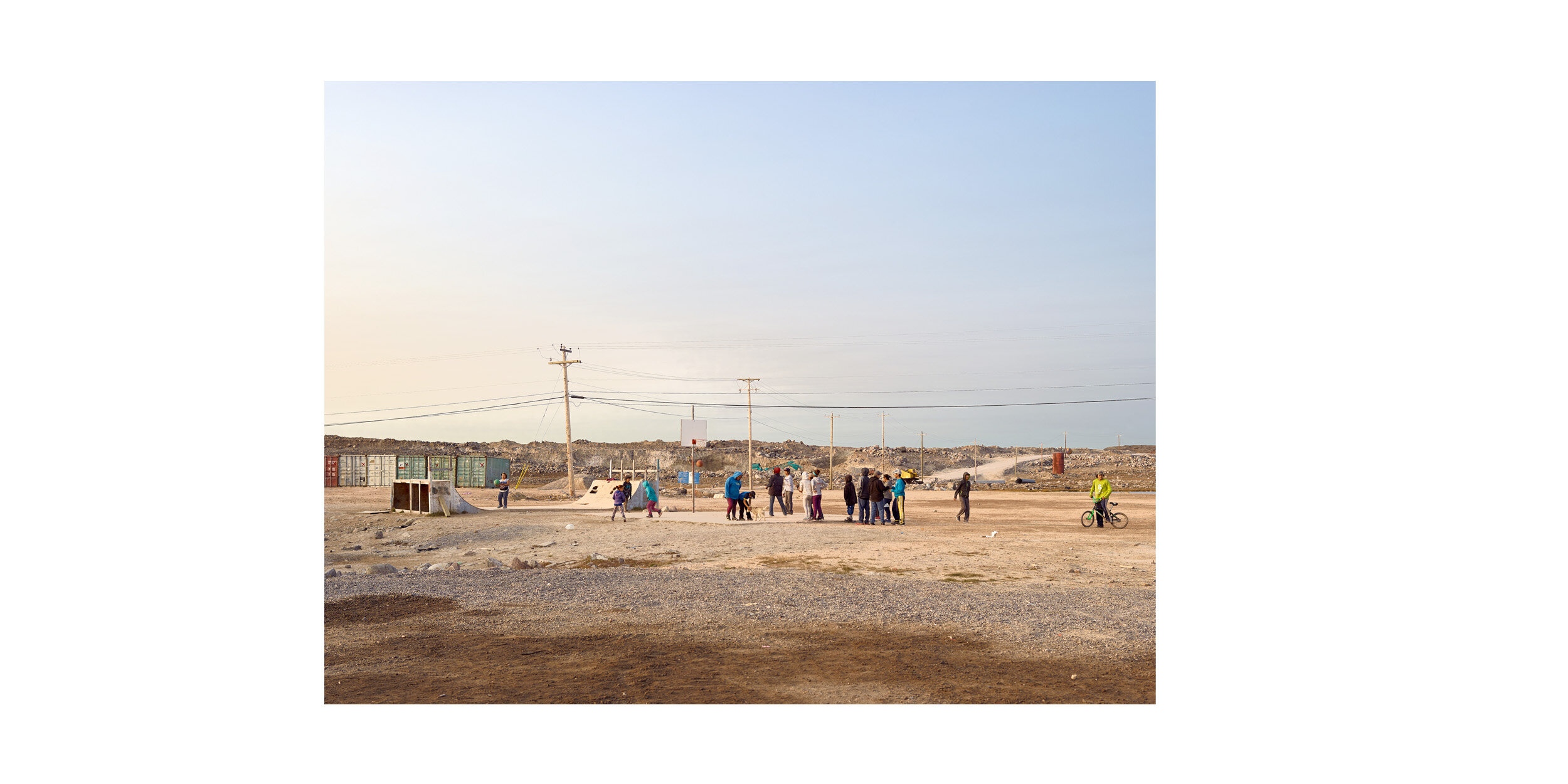
Basketball Court and Skate Park, Taloyoak

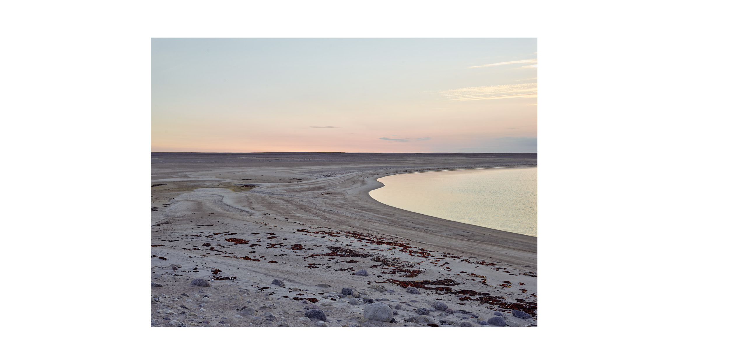
Dusk, Simpson Strait
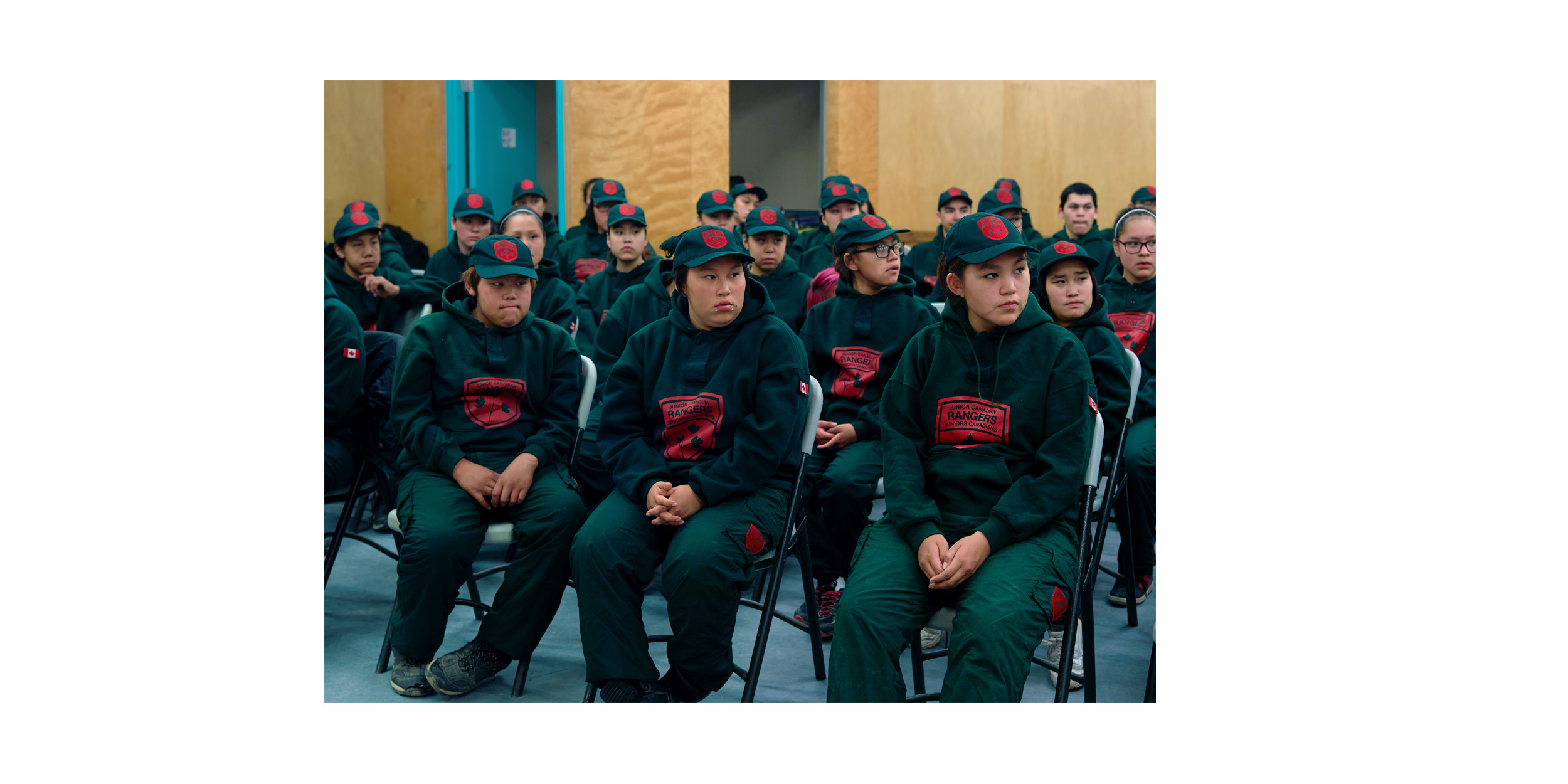
Junior Canadian Rangers, Taloyoak